This site should take about 15 minutes to view. Use the links below to skip to specific information, or click "Get Started" to move through the information in order.
(Para preguntas en español o para recibir una encuesta en español, contacte Travis Rumohr: 971.303.9311, travis.rumohr@jla.us.com)


= Page includes questions or opportunities for comment.
Open House Purpose
This online open house will help you learn about:
- The master plan and its purpose
- What we’ve heard from the public so far
- The park and trail improvements we propose
You’ll also have a chance to share your thoughts and ideas.
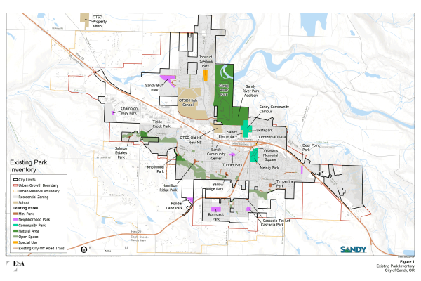
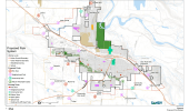
Existing Park Inventory
Plan Purpose
The master plan will help us with two things:
- Identify the necessary parks and trails needed as the city grows.
- Distribute and build parks and trails equitably, so they serve everyone in the city.
This requires planning both in the short term (including what features the next new park should have) and the long term (including where to acquire land now that will become parks and trails later).
What we heard
- The most popular park features are unpaved trails, playgrounds, paved multi-use trails and off-leash dog areas.
- 63 percent of households felt that the condition of existing parks is good or very good.
- 74 percent feel that the city could use more parks and trails.
- The top three reasons people visit parks are access to nature, exercise, and to use the playground.
- Lack of walking and biking connections to parks is a big reason why people don’t visit more often. Other factors are concerns for safety, lack of lighting, and feeling crowded.
Popular amenities
The top five amenities people would like to see more of:
- Restrooms
- Indoor swimming pools
- Natural surface trails
- Picnic areas and shelters
- Playgrounds
Natural areas with trails (74%) are the most popular type of park in Sandy. Community parks (58%) and neighborhood parks (52%) are also popular.
Community goals
We heard the following goals from the community:
- Develop a stronger trail network to improve connection between parks by:
- Creating a loop trail around the city
- Improving the safety of walking and biking crossings on Highways 26 and 211
- Acquire and develop community parks, such as the Sandy Community Campus, with recreation for the entire community (including sports fields, skate parks, bicycle pump tracks, and other unique features).
- Develop a few new neighborhood parks to fill service-area gaps.
- Improve access to certain types of amenities, such as a splash pad north of Highway 26 and a dog park south of Highway 26.
The park system master plan identifies gaps in services and ways to fill them as our community grows.
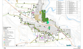
Review the maps and answer the questions below.
Questions
Neighborhood Parks
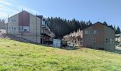
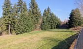
Champion Way, Deer Point and Ponder Lane are classified as Neighborhood Parks to serve neighbors within walking distance (up to a half-mile). Neighborhood parks often include playgrounds, picnic areas and open lawn areas. They sometimes include splash pads, sport courts, community gardens, dog off-leash areas and other amenities.
Community Park
Sandy Community Campus is classified as a Community Park that will serve the entire community. Along with the amenities of a Neighborhood Park, it might also include a skatepark, sports fields, restrooms and parking.
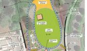
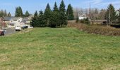
Park concept
- Public access from all three street frontages:
- A stairway on Champion Way due to the steep terrain.
- Accessible paths from the alley and Chula Vista Avenue.
- A stairway at the Chula Vista entrance for access up the hill and into the park.
- The entries would connect to a loop trail in the central area of the park.
- The playground would be at the north end of the park.
- An open lawn area would be next to the picnic shelter and playground.
- The park would have picnic tables throughout.
- The south boundary would have trees as a buffer for the houses nearby.
Questions
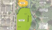
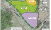
Park concept
- Meadow Avenue and Fawn Street would get sidewalks.
- A paved, accessible trail through the park would form two loops with the sidewalks along the street.
- A trail would connect to the sidewalk along Highway 26.
- The north portion of the site would have a picnic shelter next to the loop trail and playground.
- The central portion of the park would have a large multi-use field.
- The south end of the park would have a basketball half-court or other sport court.
- If the park were expanded east, the trail loop could expand along with an additional picnic shelter and picnic areas. Amenities such as disc golf, a bicycle pump track and/or more walking trails might also be possible.
Questions
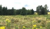
Park concept
- Pedestrian access is possible from Ponder Lane in the northeast corner, a future street in the northwest corner, and potentially Highway 211 in the southeast corner.
- Gunderson Road would get a sidewalk connecting to an ADA-accessible paved loop trail within the park.
- The northeast corner would have a playground next to the trail and picnic areas.
- A fenced, off-leash dog area would occupy the south portion of the park.
- The center of the park would have a picnic shelter between the dog park and the multi-use field.
- All park features would be designed to meet accessibility requirements to the extent possible.
- There could be an opportunity for a crosswalk at Gunderson Road if the street were extended across Highway 211.
Questions
Park concept
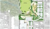
A preliminary concept for redevelopment of the park was created as part of the Sandy Community Center Study completed in 2018.
The entire park will be too expensive to develop all at one time, so the park was broken into four phases.
Phase 1
The final design is likely to evolve, but this concept provides guidance on the type of improvements that could be included in Phase 1.
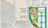
The Phase 1 park concept focuses on redevelopment of the east portion of the park and includes a parking lot adequately sized to serve the park, a playground, picnic area, basketball court, community garden, and a new skate park.
Questions
- Skate Park Not ranked.
- Parking Not ranked.
- Basketball Not ranked.
- Playground Not ranked.
- Picnic Area Not ranked.
- Community Garden Not ranked.
- Challenge Course Not ranked.
- Flexible Field Not ranked.
- Pump Track Not ranked.
Sandy Parks Timeline
Next Steps
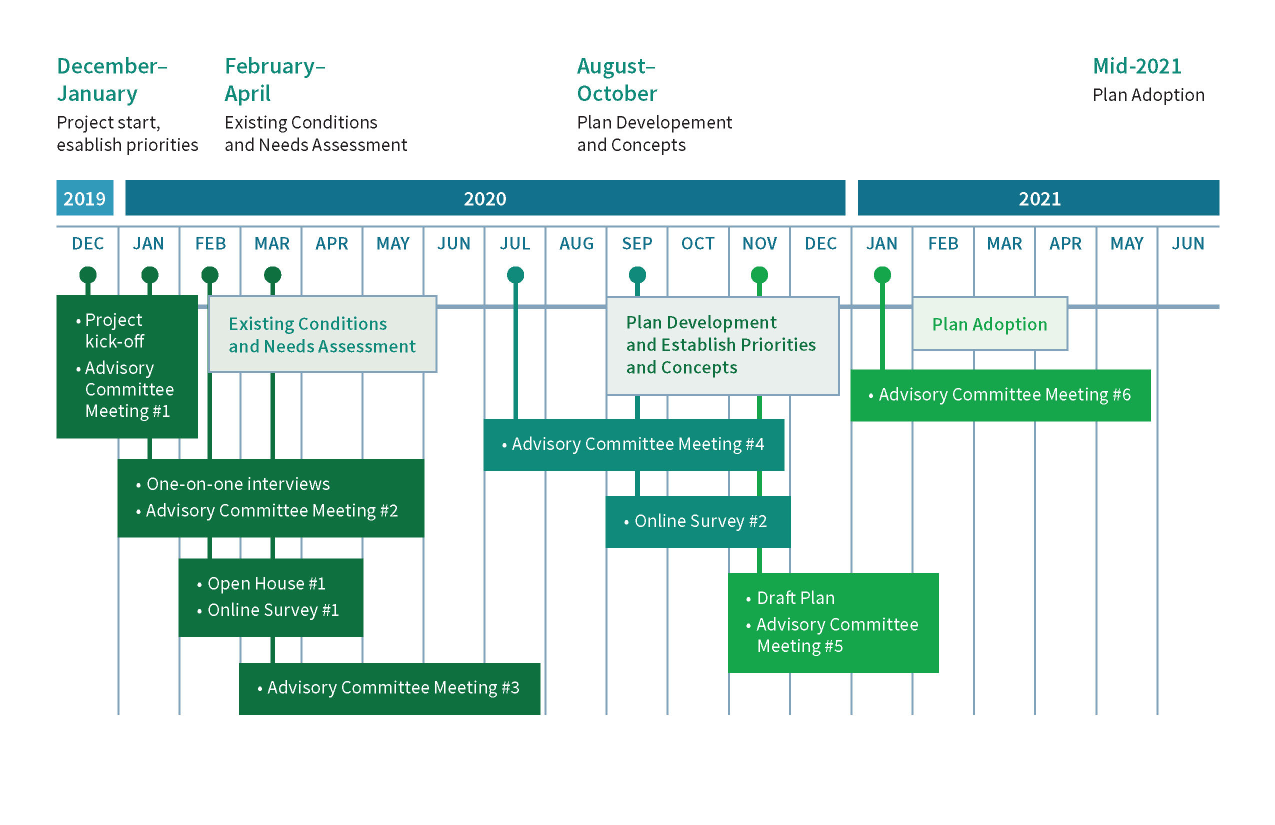
- The Master Plan process began in October 2019, and the goal for completion is late 2020 or early 2021
- Feedback from this online open house will be incorporated into the draft Master Plan by mid-November
- The final plan will be presented in public meetings to the Parks Board and Planning Commission, then to the Sandy City Council for adoption.
Contact Us
- For questions or more information, contact Nancy Ream Enabnit: 503.668.7535, nancyenabnit@gmail.com.
Timeline
Click to enlarge.
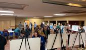
Along with the one-on-one interviews with key community groups, public open houses and online surveys that helped to shape the draft plan, a Technical Advisory Committee (TAC), comprised of Sandy community members, has met throughout the project to help guide the project team.
Tell us about yourself
Please provide your contact information if you would like to receive future updates or participate in a future meeting:
Demographic Questions
Thank you for your input and helping to shape the future of Sandy parks and trails!

